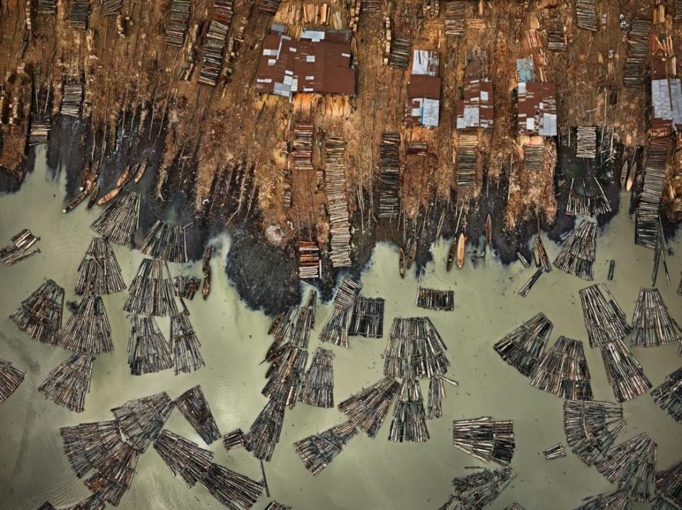
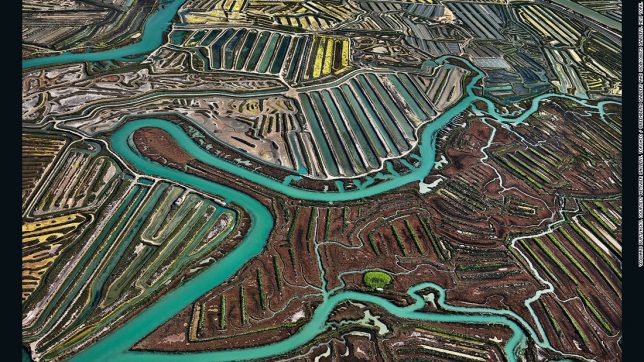
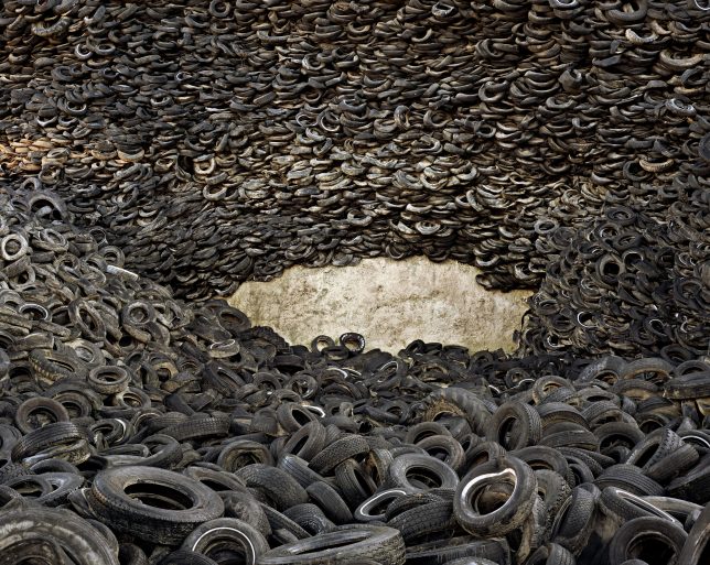
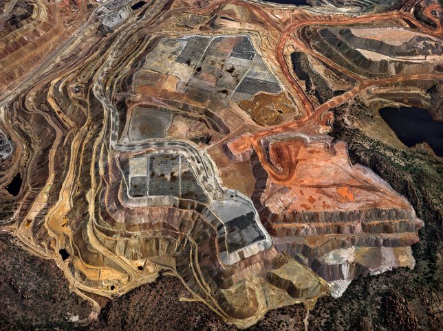
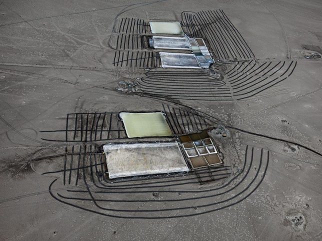
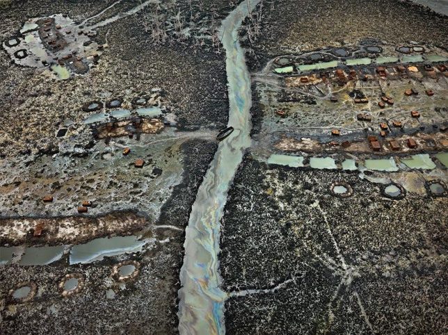
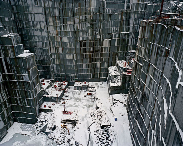
The toll exacted from the earth for human progress is rarely more dramatically visible than from overhead, looking down onto the mines, oil fields, salt flats, recycling yards and other artificial landscapes we’ve created to maintain a population that has exploded since the 1950s. Photographer Edward Burtynsky, who has been flying all over the world capturing aerial images of these scenes since long before the arrival of Google Earth, now sees human activity as expanding “like a rogue species… stretching the boundaries and limits of what we can do in nature.”
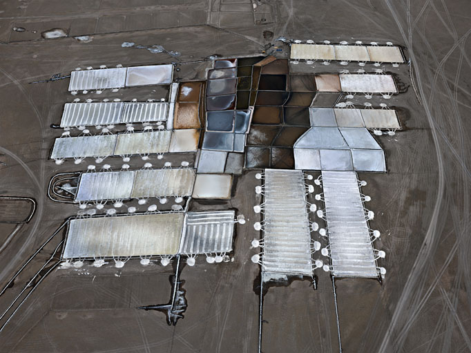
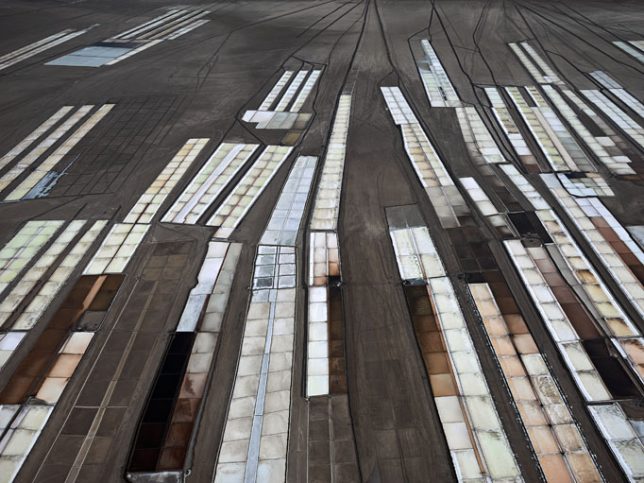
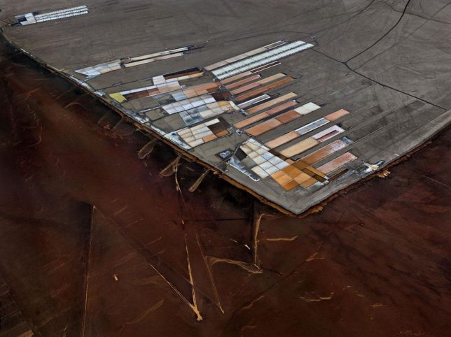
How have we changed the shape of the Earth since the dawn of the industrial age? The human population on Earth has expanded by nearly a billion every decade, and in our constant quest for lives of comfort and plenty, we ravenously consume natural resources and radically alter the landscapes we depend on for our own survival. Burtynsky has produced a series of photo collections in 11 categories like water, oil, mines, ship breaking, tailings and quarries to show that our appetites have put our own future in jeopardy.

Accepting his 2005 TED Prize for his stunning work, Burtynsky said he hopes that these images will help persuade millions of people around the world to join a global conversation on sustainability.
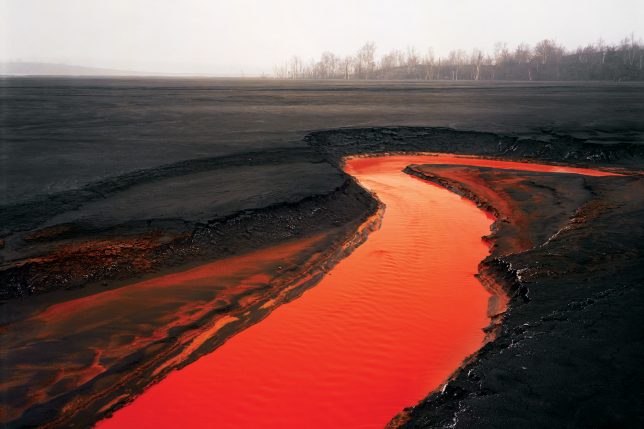
“These images are meant as metaphors to the dilemma of our modern existence; they search for a dialogue between attraction and repulsion, seduction and fear. We are drawn by desire – a chance at good living, yet we are consciously or unconsciously aware that the world is suffering for our success. Our dependence on nature to provide the materials for our consumption and our concern for the health of our planet sets us into an uneasy contradiction. For me, these images function as reflecting pools of our times.”