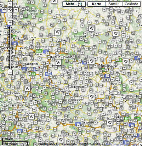
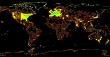
Wikipedia is making it easier than ever to participate in the aggregation of user-provided knowledge and information with its GeoData extension, a mobile app for iPhones and Androids. This app enables users to geo-tag articles and images and instantly upload their own images, right there on location.
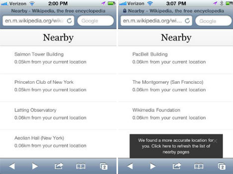
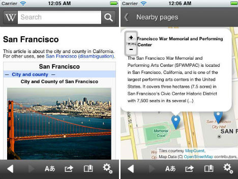
The GeoData extension will provide app developers with a new spatial database with which they can create maps and improve Wikipedia’s current app and the ‘Nearby’ add-on. The Nearby function takes you on a virtual tour of notable sights in your area, directing you there and giving you the history and other pertinent data.
The more spatial coordinates are added to Wikipedia entries, the more accurate and interactive Wikipedia’s mobile app can be. The mobile app currently offers search suggestions, full text search, saving pages for offline viewing, sharing pages via social media and reading pages in other languages.
The coolest thing about this function will be discovering all sorts of interesting locations and monuments in your neighborhood that you probably didn’t even know existed. To learn more about how it works, check out the Wikimedia Foundation blog.


